
Farmers now have a more precise, weather-proof solution for crop management, thanks to CultiWise’s new drone-derived prescription maps. Unlike satellite imagery, which is often disrupted by cloud cover, these high-resolution drone maps provide instant field insights, enabling farmers to optimize the application of fertilizers, fungicides, and growth regulators.
With up to 20% cost savings and a potential return on investment in the first season, this innovative feature is now available to CultiWise cloud-based analytics subscribers for as little as €5 per hectare, while CultiWise drones start at €4,200.
Why Drone Mapping is a Game-Changer for Farmers
For years, farmers have relied on satellite imagery to program variable rate application (VRA) of crop protection products. However, cloudy weather can delay crucial spraying decisions, affecting yield potential.
Now, with CultiWise drones, farmers can:
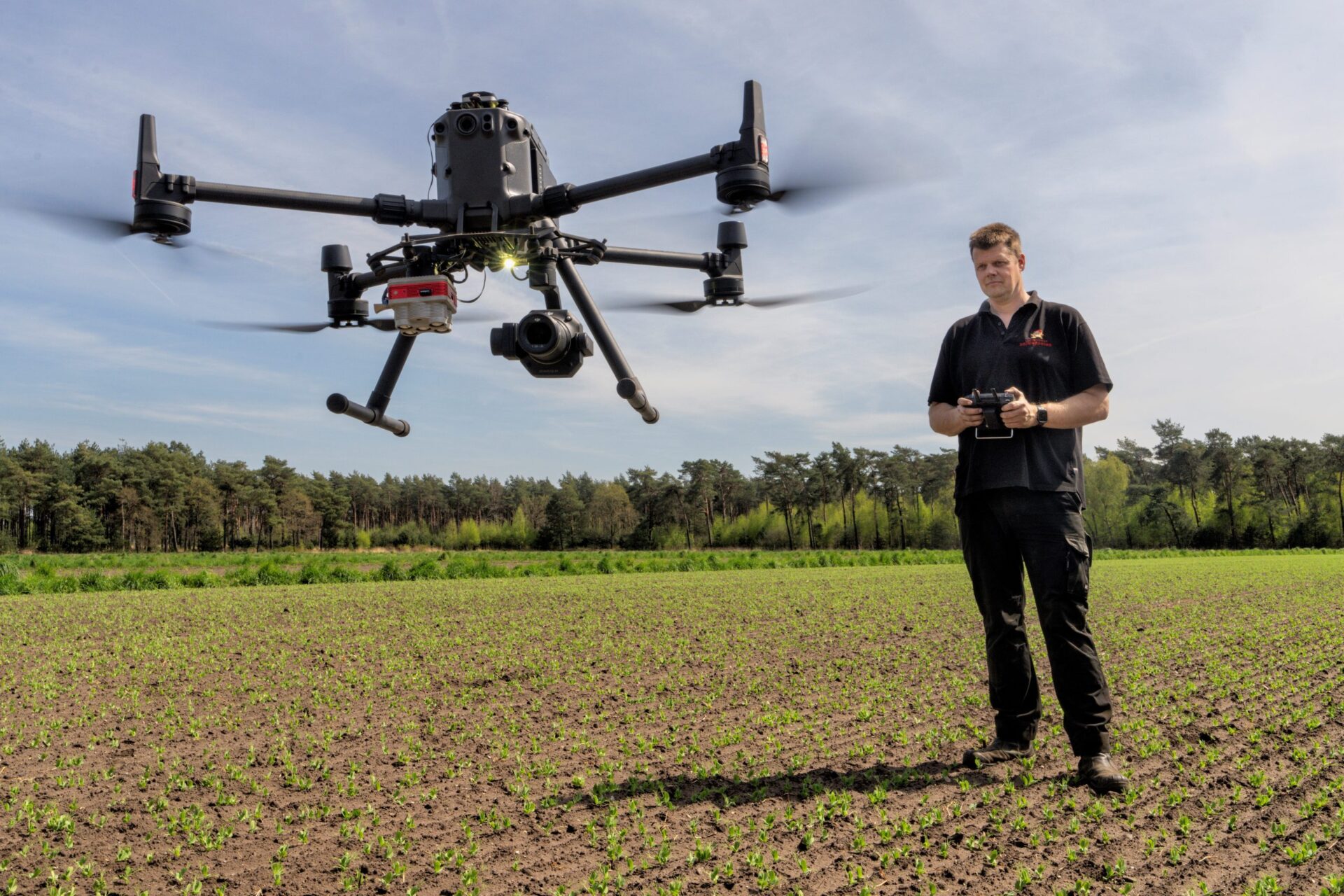
🚀 Map up to 200 hectares per hour with centimeter-level accuracy
🛰️ Overcome satellite limitations by capturing real-time field data
🌾 Generate prescription maps within hours and begin spraying the same day
💰 Cut pesticide and fertilizer use by up to 20% while boosting yields by up to 10%
“Our drone-based system ensures farmers receive highly accurate prescription maps, helping them apply inputs efficiently and sustainably,” says Kornel Cziria, Chief Technology Officer at Skymaps.
How It Works: Smarter Spraying, Higher Yields
📌 Farmers deploy CultiWise drones to capture detailed crop images using multispectral or RGB cameras.
📌 Images are uploaded to the CultiWise platform, which analyzes crop health and identifies zones needing adjusted input levels.
📌 Within minutes to hours, precision “prescription maps” are generated, allowing farmers to start spraying immediately.
Unlike conventional blanket spraying, where all crops receive the same input levels, CultiWise’s variable rate application (VRA) method adjusts the amount of fertilizer, fungicide, or growth regulator based on the actual needs of different crop zones.
“Our system helps reduce unnecessary chemical usage while improving yields—delivering both economic and environmental benefits,” adds Cziria.
Precision Agriculture for a Sustainable Future
CultiWise integrates seamlessly with leading smart spraying equipment from Amazone, Agrifac, and John Deere, allowing automated sprayers to adjust nozzle output in real time based on drone-derived field data.
🌱 Supports all major crops, including corn, winter wheat, soybeans, sugar beets, sunflower, rapeseed, potatoes, and onions.
📊 Reduces input waste while improving soil health and long-term sustainability.
🔬 Developed using real-world data from hundreds of European farms, covering operations from small-scale plots to 30,000-hectare commercial farms.
“Drone cameras capture more detail than satellites, eliminating soil interference for a clearer assessment of crop health—especially in early growth stages and wide-row crops,” explains Cziria.
With over 1,000 farm subscribers across 15 countries, CultiWise is revolutionizing precision agriculture, making advanced farm analytics more accessible than ever.
The Future of Farming is Here
By combining real-time drone imagery, AI-driven analytics, and automated spraying, CultiWise is helping farmers lower costs, maximize yields, and meet future sustainability regulations.
🔹 Lower pesticide and fertilizer use
🔹 Faster, more efficient decision-making
🔹 A smarter approach to sustainable farming
💡 Want to optimize your farm operations? CultiWise has the solution. 🚜🌍